Toggle navigation
Menu
Sand-bed River Dynamics Project
Project
Rationale
Objectives
Field Area
Modelling
news
team
resources
photos
outputs
acknowledgements
Photos
South Saskatchewan River
Bedforms and channels
Research Team
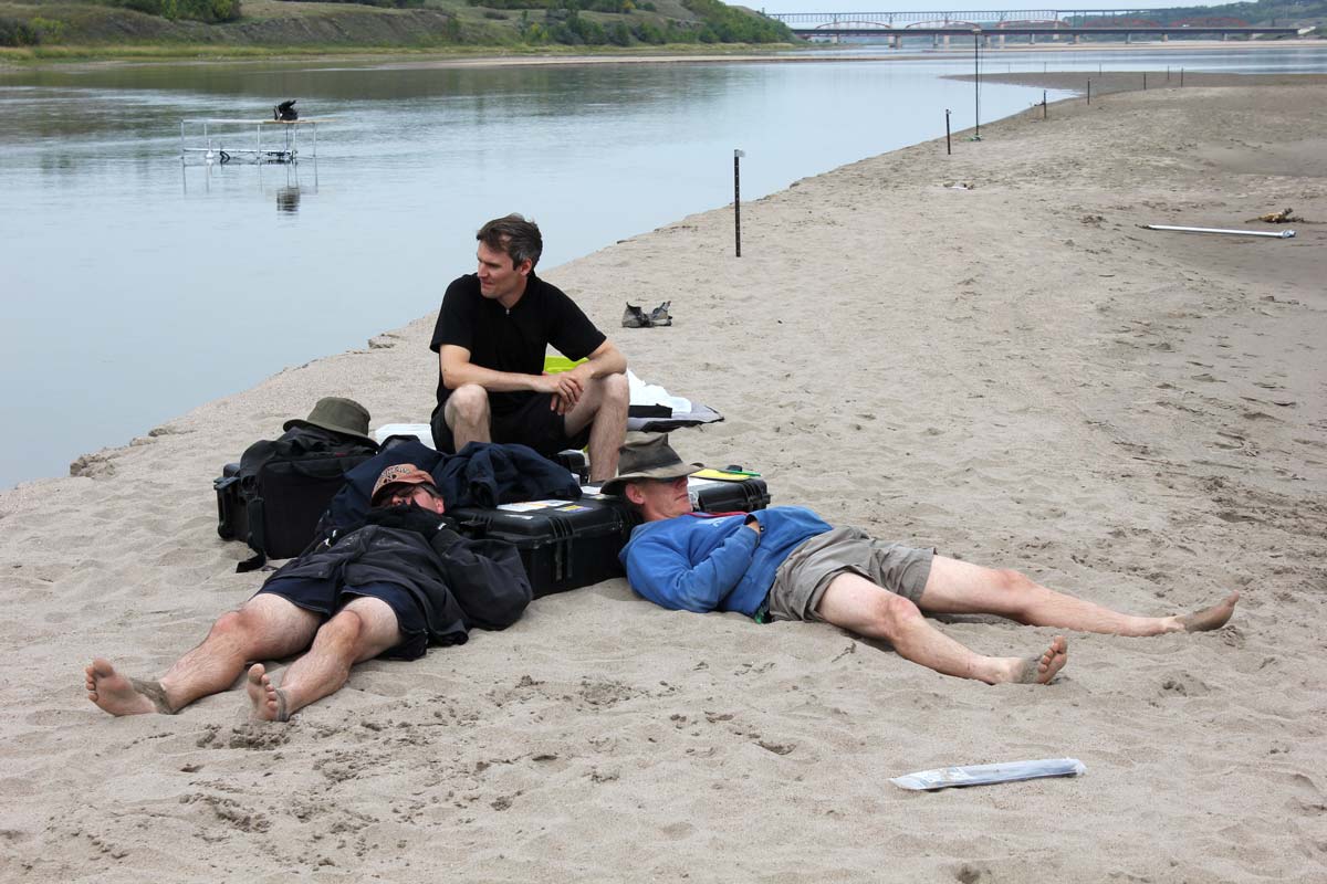
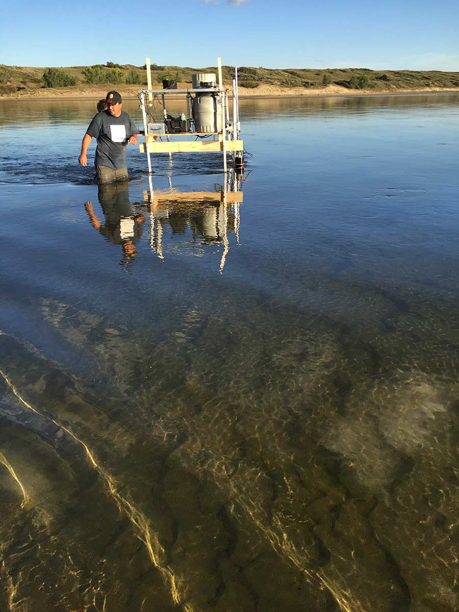
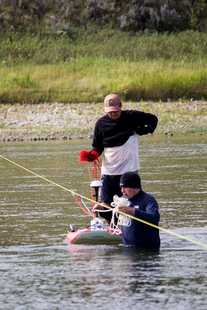
Work on the River
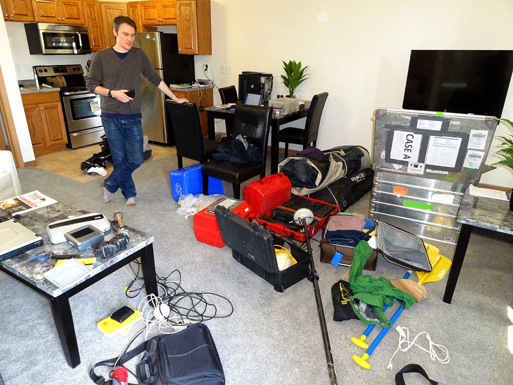
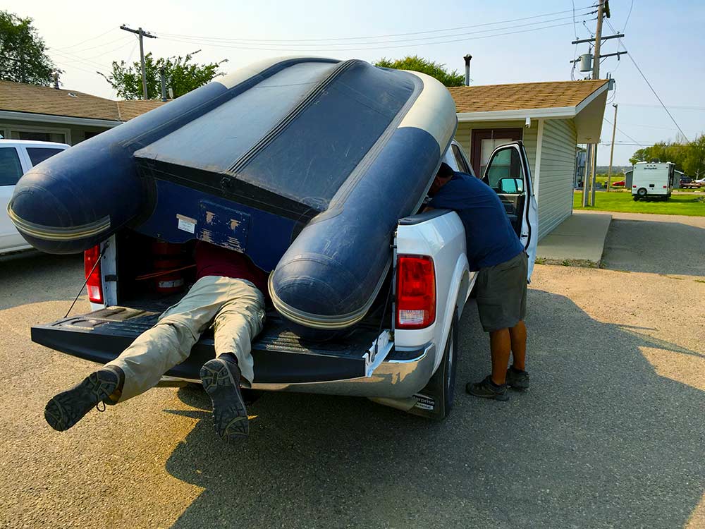
Field Work
UAV and surveying
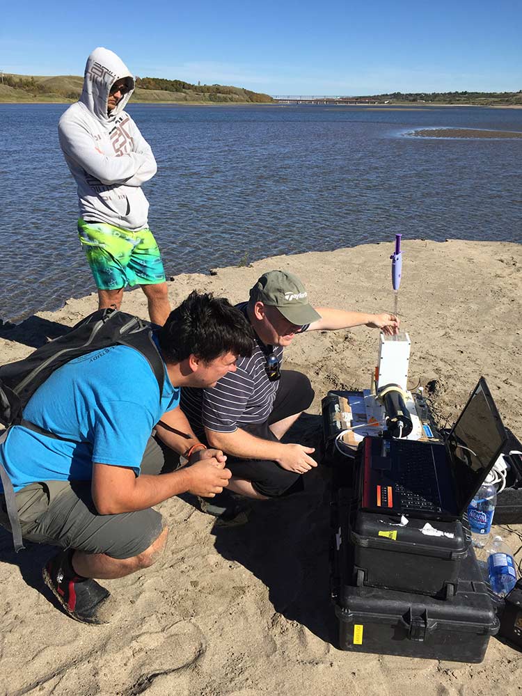
Flow Monitoring